Above the Ozarks.
Crop application. Game recovery. Surveying.
Drone crop application, thermal game recovery, and aerial surveying. Harrison, Arkansas.
36.23° N 93.11° W · Harrison, AR

The aircraft we fly.
ATS flies DJI aircraft, including the Agras T100 and Matrice 4T. DJI, AGRAS and MATRICE are trademarks of SZ DJI Technology Co., Ltd. ATS is not affiliated with or endorsed by DJI.
Crop application, game recovery and surveying, from the air. Harrison, Arkansas.
Crop application
Game recovery
Surveying
- Unfolded span
- 3.2 m
- Spray tank
- 100 L
- Rotors
- 8
- Spray swath
- Up to 13 m
- Droplet size
- 50–500 μm

Every acre, from above.
Illustrative
- Spray swath
- Up to 13 m
- Droplet size
- 50–500 μm
- Spray tank
- 100 L
Every acre, from above.
We fly your fields on your schedule, from calibration to the final pass, including ground that's too wet, too steep, or too tight for a ground rig.
How a spray job works
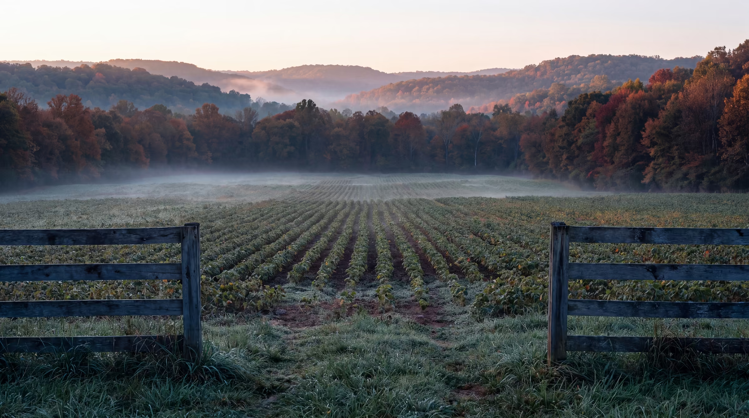
Tell us about the field.
Location, acres, crop, and what you need applied.
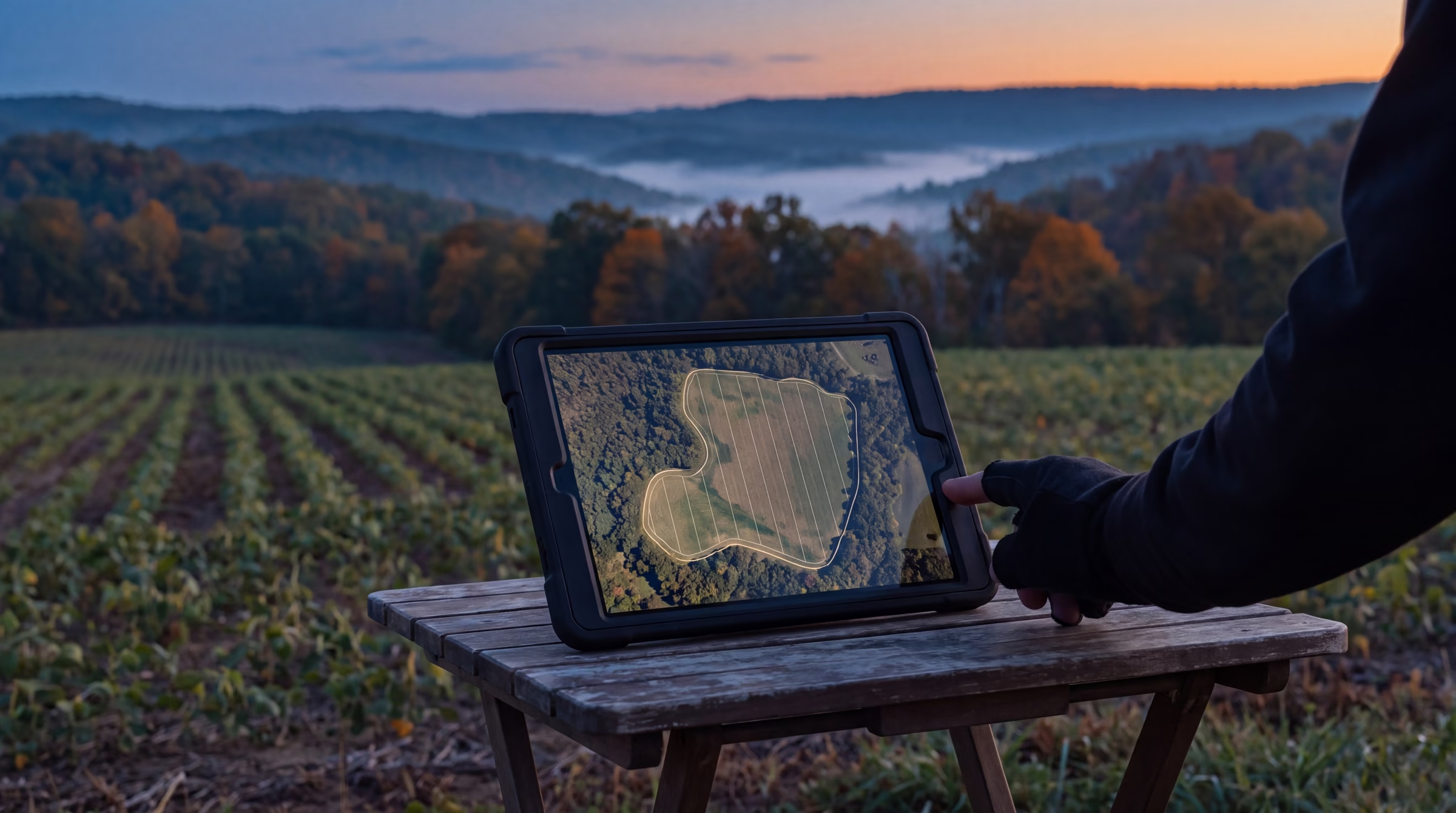
We plan the flight.
Boundaries, buffers, airspace, weather, and product calibration.

We fly it.
Certified pilots, our own aircraft, your window.
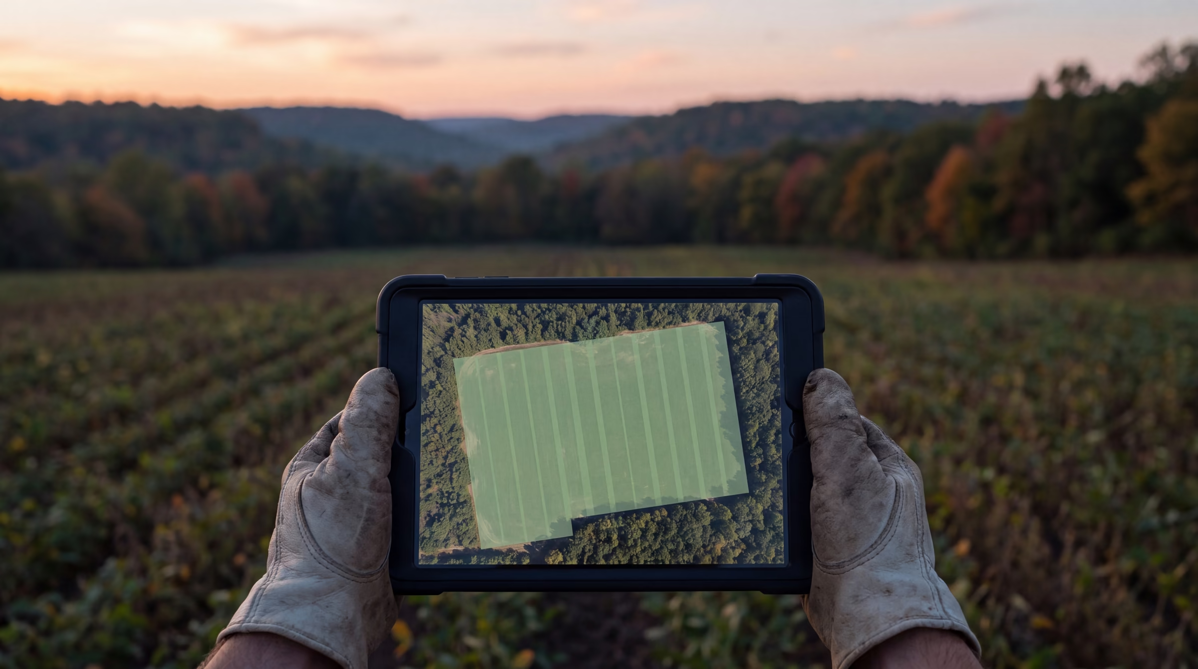
You get the records.
After the last pass, you get a complete application record: product, rate, acres, weather, and a map of exactly where we flew.


- Thermal camera
- 640×512
- Rangefinder
- 1,800 m
- Flight time
- 49 min
- Hybrid zoom
- 112×

He's out there. Let's go find him.
Illustrative
He's out there. Let's go find him.
A thermal camera sees body heat you can't see from the ground. It works best in leafless timber and cool air, so call soon. Recovery only, always with landowner permission.
Have your location, time of shot, and last sign ready.

See your ground the way we do.
- Ground
- 3,623,578 ground returns
- Vegetation
- 1,270,365 vegetation returns
- Buildings
- 260,592 building returns
- Water
- None detected in this area
- Bridge
- None detected in this area
- Area
- 700 m × 700 m (≈ 121 acres)
- Points shown
- 3,557,206 of 7,864,879 shown
Visualization built from public USGS 3DEP LiDAR of Harrison, AR.
Road names: Census TIGER
- State Hwy 392
- Ridgepark Rd
- White Oak Ln
- White Oak Dr
- Ann Ave
See your ground the way we do.
Aerial mapping and imagery of your land, fields, and structures, delivered in formats you can actually use.
Maps and imagery for planning and reference. Not a licensed boundary survey.
You hire the result. We handle the rest.
Our aircraft.
We own and maintain every aircraft we fly.
Our pilots.
Certified remote pilots, scheduled around your window.
Our paperwork.
FAA compliance and flight planning, done before we arrive.
Our logistics.
Product calibration and field logistics, handled in-house.
Harrison-based. Ozark-wide.
Serving Northwest Arkansas & the Ozarks — and expanding.